
Data you can work with
Planned and ongoing roadwork, across jurisdictions. Infrastructure-impacted residential, retail, hotel, and medical developments. Project mapping with planned-development overlays, geographic features, and demographic data.
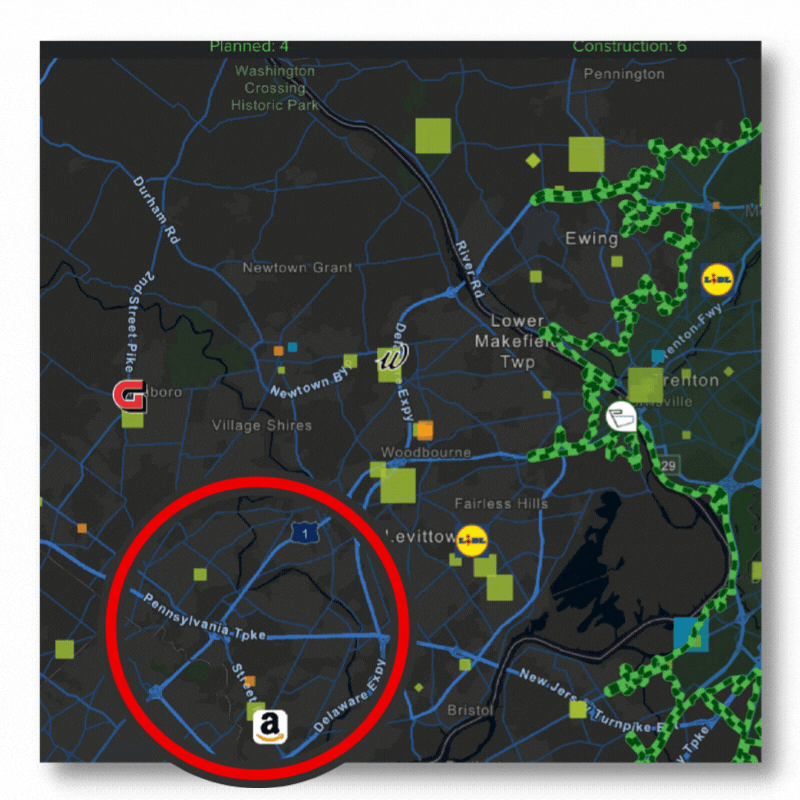
That's just some of what comes with Infrastructure+, a planned construction database built to help you refine project leads and pursue the best opportunities.
GEOSPEX Mapping
Map project opportunities, assess relevant construction, geographic, and demographic data, and even plan routes between your different sites.
Decision-Maker Contacts
When you find the right project leads, our company role and contact information is the means to the end that is your winning business.
Plans & Specs
We track and update plans & specs documents in associated project reports so that you'll be sure when you find the right opportunity.
WHY INFRASTRUCTURE+?
Engineers and contractors use Infrastructure+ to filter project leads and identify new opportunities.
TRY INFRASTRUCTURE+
Get started with an Infrastructure+ demo to see how it works for you.